
Image
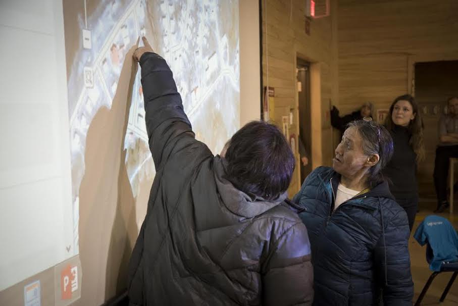
Image Caption
It’s been a seven-year collaboration between Indigenous communities and mapping experts. But today, Google has announced it is adding more than 3,000 federally-recognized Indigenous territories to Google Maps and Google Earth to reflect Canada to Canadians and to the world.
The majority of the data comes from Natural Resources Canada and the remainder comes from consultations/data with Indigenous communities themselves.
“The goal is to enhance cultural preservation, digital awareness and land management among Indigenous communities to preserve knowledge and to update Google Maps to reflect Canadian lands,” reads a press statement
If Indigenous communities would like to add their lands to Google Maps, or want to update information about their lands, such as roads, addresses, or businesses, their government can contribute the data via the Base Map Partner Program and individual community members can also use the Send Feedback tool to add and edit essential information on Google Maps.